Missouri River Crossings
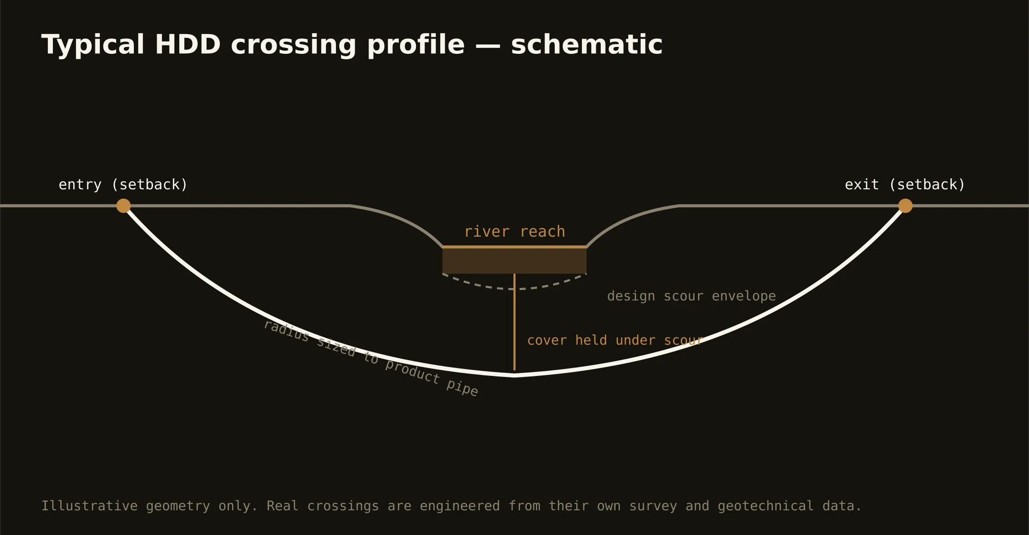
The Missouri is the metro's founding fact — a navigable, engineered river running channelized past downtown, joined by the Kansas at the confluence the city grew around — and crossing its corridor is the signature KC bore. These are engineered shots under a working river: setback entry and exit behind the levees, a profile holding cover beneath the navigation channel's design section, and geotech that answers the corridor's own question — how deep the alluvium runs before the bedrock benches take over.
The authority stack fits a navigable, levee-lined, bi-state river: federal navigation and water-resource review on the channel, the levee districts whose works line both banks with engineering criteria of their own, state water-quality oversight — from either state or both — and the road and rail owners layered overhead, which at this confluence usually means rail. Our quotes map the full stack for your actual reach and carry its longest honest clock; on this river, the permit program is the schedule.
The same doctrine covers the Kansas River through the industrial west bottoms and the metro's named streams — the Blue, the Platte, Brush Creek's engineered urban reach — at friendlier scale: setbacks honored, cover under scour, containment on both banks, and the response plan written before the pilot turns.