How Directional Drilling Works in Kansas City Ground
The layer cake: alternating rock, mapped like nowhere else
KC's bedrock is Pennsylvanian layer-cake country: limestones and shales stacked in alternating beds laid down by ancient seas, so regular that the thick limestone members carry names and the mining industry turned them into rentable underground space. For drilling, the cake means the bore's depth chooses its ground — a profile in a shale interval runs steady and cooperative, a profile in a limestone bench is clean rock work, and a profile crossing a contact does both in one shot. The local advantage is knowability: between the mines, a century of quarrying, and dense geotech, this metro's subsurface is documented like few others, and our quotes lean on that record hard.
The cover: loess, till, residuum, and the bottoms
What sits on the cake depends on where the ice and the rivers left you: thick wind-blown loess on the Northland bluffs, glacial ground north of the Missouri, thinner residual clays south of it, and deep soft alluvium in the river bottoms — the West Bottoms, the East Bottoms, the Kaw valley — where the metro's industrial heart sits on the confluence's floodplain. Cover-depth bores price by which mantle they ride; bottoms work adds the wet-alluvium program of shored pits, ballast, and tight fluid discipline.
The sequence, confluence edition
The bones are standard — locates (both states' One-Call systems run this metro) plus private designating, potholes on every claimed utility, pilot on profile, ream to about one and a half times the product, pull, restore. KC bends: bench tooling staged where the profile meets rock, bottoms pits shored and pumped, rail windows honored through the yard districts, freeze-thaw season respected in surface logistics, and restoration to boulevard-city standards — this metro takes its parkways personally.
Who owns what you're crossing
Municipal streets carry their cities' processes on both sides of the line; county roads carry fourteen departments; the state systems run on MoDOT or KDOT utility permits by whose pavement it is. The Missouri brings federal navigation review and the levee districts; the rail web permits its own extensive corridors, densest at the confluence; and the state line itself decides which One-Call, which DOT, and which inspection culture governs. The quote names every owner on your alignment — in this metro, the first question is which state, and the second is which bed.
Straight answers
Will you hit rock on my bore?
Ask the layer cake: shallow bores usually ride the cover, deeper ones meet a limestone bench, and the neighborhood's records typically settle it before mobilization. The quote states the expected bed and prices bench footage as the rock work it is — no discovery-by-change-order.
How deep do bores run under KC streets?
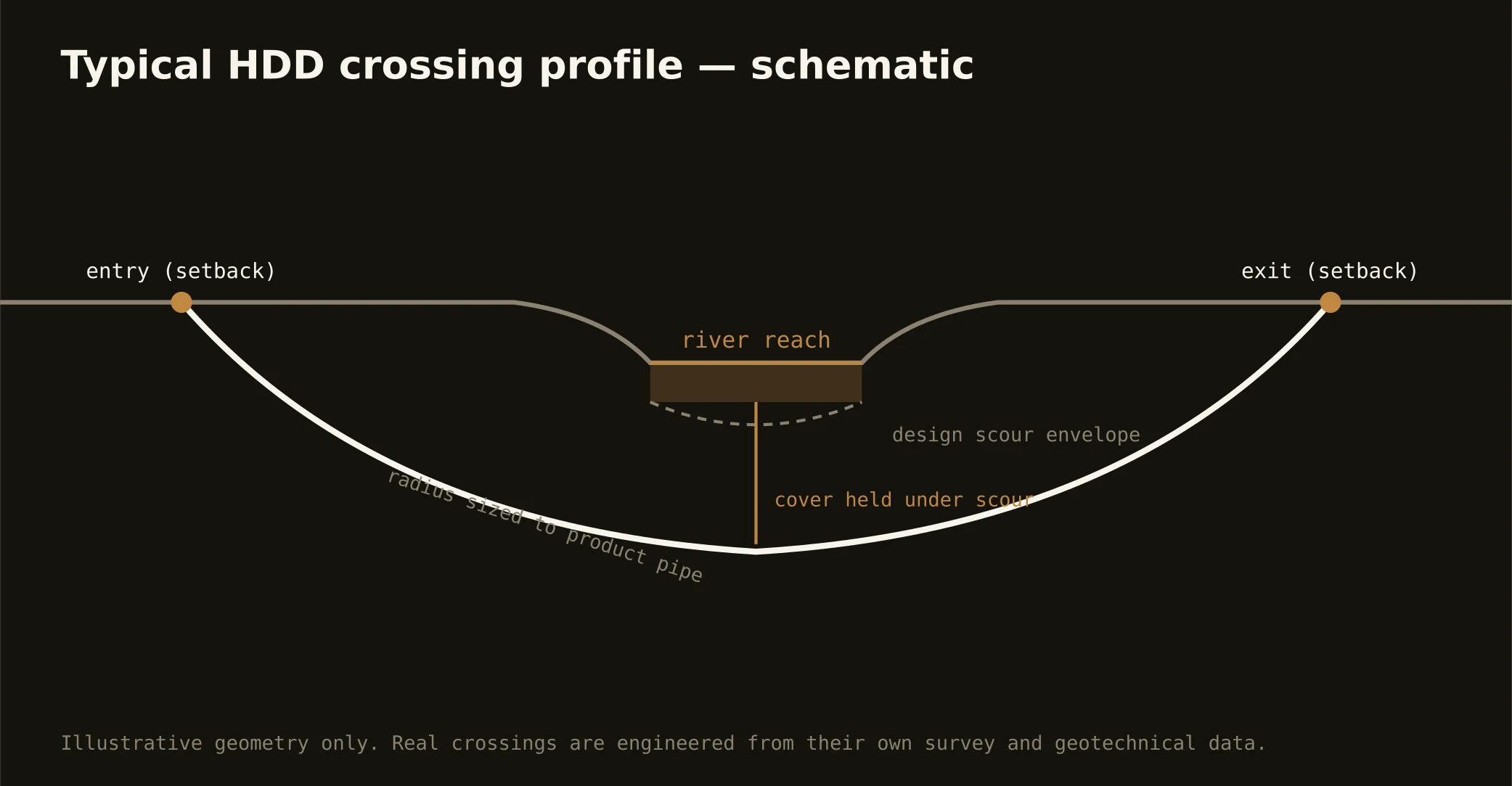
Cover follows the owning authority's standard — municipal, county, MoDOT, or KDOT — and sits below everything potholed on the alignment; river and rail crossings run deeper on their own engineering. In layer-cake ground the depth also chooses the geology, so the bore plan states both your number and your bed.
Does the state line ever complicate a single crossing?
Occasionally a crossing itself changes states — a river shot or a State Line Road bore — and then both DOTs or both cities join the stack, coordinated in parallel. It's routine here: the metro has been bi-state since the stockyards, and the trade that serves it files accordingly.
Ready to put a number on a real crossing? Send the scope — a person prices it.